Alertes en vigueur Adair, OK
Take extra precautions when outside. Wear lightweight and loosefitting clothing. Try to limit strenuous activities to early morningor evening. Take action when you see symptoms of heat exhaustion andheat stroke.Do not leave young children and pets in unattended vehicles. Carinteriors will reach lethal temperatures in a matter of minutes.To reduce risk during outdoor work, the Occupational Safety andHealth Administration recommends scheduling frequent rest breaks inshaded or air conditioned environments. Anyone overcome by heatshould be moved to a cool and shaded location. Heat stroke is anemergency! Call 9 1 1.
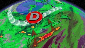
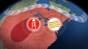
* WHAT...Heat index values of 110 to 115 are expected to developthis afternoon and again Saturday afternoon.* WHERE...Muskogee, Okfuskee, Craig, Creek, Mayes, Nowata, Okmulgee,Osage, Pawnee, Rogers, Tulsa, Wagoner, Washington OK, McIntosh,and Pittsburg Counties.* WHEN...Excessive Heat Warning until 9 PM CDT this evening andagain from noon to 9 PM CDT Saturday.* IMPACTS...The combination of hot temperatures and high humiditywill create a dangerous situation in which heat related illnessesare more likely.